
This page discusses the following topics:
What is BIM?
How can a BIM Model help?
BIM Specifications
How are BIM Models Made?
How much do BIM Models Cost?
How we can help with BIM Modelling
BIM Modelling
What is BIM?
Building Information Modeling (BIM) is a digital representation of the physical and functional characteristics of a building. A BIM model integrates all aspects of a building's design into one coherent system, allowing architects, engineers, contractors, and stakeholders in Lancashire and West Yorkshire to collaborate effectively. BIM is not just about 3D modeling; it provides a shared knowledge resource where information about a building can be extracted and analyzed to improve decision-making throughout its lifecycle—from conception and design to construction and maintenance.
How Can a BIM Model Help?
BIM models are revolutionary in the construction and design industries, offering several key benefits:
Enhanced Collaboration: BIM models facilitate better communication between project teams by providing a single, unified source of truth. This reduces errors and misunderstandings, saving time and money for construction projects in Lancashire and West Yorkshire.
Accurate Visualization: With a BIM model, you can visualize the project in 3D, gaining a better understanding of the design, spatial relationships, and potential issues before they arise on-site in West Yorkshire or Lancashire.
Improved Efficiency: BIM allows for precise planning and management, reducing rework and material waste, ensuring the project stays on schedule for clients in Lancashire and West Yorkshire.
Lifecycle Management: BIM continues to add value during the building's operational life by providing accurate data for facility management and future renovations across Lancashire and West Yorkshire.
What are the Specifications for BIM Models?
BIM models come with different levels of detail (LOD), which define how much information the model contains:
LOD 100: Conceptual design stage with basic massing and rough layouts.
LOD 200: Schematic design with approximate geometry, including basic building elements.
LOD 300: Detailed design with accurate geometry, including specific elements such as doors, windows, and structural components. This level is often required for construction documentation in Lancashire and West Yorkshire.
LOD 400: Fabrication and assembly level with detailed information on materials, connections, and manufacturing details.
LOD 500: As-built stage with accurate, field-verified data that represents the completed project.
At Brookes Geospatial, we specialize in creating LOD 300 models, which are typically used for construction documentation and precise design planning.
How are BIM Models Made?
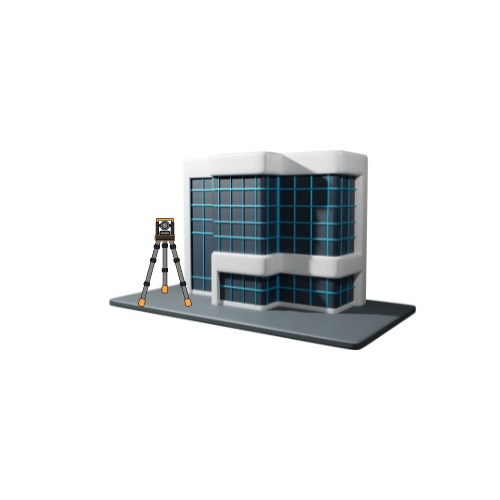
Our BIM models for Lancashire and West Yorkshire clients are created using advanced laser scanning technology combined with Revit software. Here’s how we do it:
Laser Scanning:
We begin by using high-precision laser scanners to capture detailed 3D data of the building or site. This method ensures no detail is missed, providing a complete digital representation of the structure for projects in Lancashire and West Yorkshire.
Data Processing:
The raw data from the laser scan is processed to create a point cloud—a dense collection of data points that represent the surfaces of the building.
Model Creation in Revit:
Using the point cloud as a reference, our skilled technicians create the BIM model in Revit. The model is drawn to the required level of detail, ensuring that every element is accurately represented according to the specifications.
Quality Assurance:
We perform thorough checks to ensure the BIM model meets all required standards and accurately reflects the site’s conditions.
How Much Do BIM Models Cost?
Due to the extensive data processing and high level of detail involved, BIM models are more expensive than traditional 2D floorplans and elevations. The cost of a BIM model will vary depending on the size and complexity of the project, the level of detail required, and the specific needs of the client. While more costly, the investment in a BIM model pays off through improved project efficiency, reduced errors, and better lifecycle management of the building. We offer competitive pricing for projects across Lancashire and West Yorkshire.
How We Can Help with BIM Modelling Using Laser Scanners
At Brookes Geospatial, we offer expert BIM modeling services to clients across Lancashire and West Yorkshire. Our services include:
Comprehensive BIM Solutions: We provide end-to-end BIM modeling, from initial laser scanning to the final model delivery, for projects throughout Lancashire and West Yorkshire.
Customized Models: We create models tailored to your specific project needs in West Yorkshire or Lancashire, ensuring the level of detail matches your requirements.
Cutting-Edge Technology: By using the latest laser scanning technology and Revit software, we ensure the highest accuracy and quality in our BIM models.
Ongoing Support: We offer continuous support throughout the project lifecycle, helping you make the most of your BIM model for construction, management, and beyond.
If you’re looking to incorporate BIM into your project in Lancashire or West Yorkshire, Brookes Geospatial has the expertise and technology to deliver superior results. Contact us today to learn more about how our BIM modeling services can benefit your next project.
Reach out to us at admin@brookesgeospatial.com to learn more or to request a consultation. We’re here to help you elevate your project to new heights of precision and efficiency.