
Topographic Survey, Barnoldswick, Lancashire
At Brookes Geospatial, we take great pride in supporting our local community with high-quality surveying services. Recently, we had the opportunity to conduct a topographic survey of a farm right here in our hometown of Barnoldswick. This project was particularly meaningful to us, as it allowed us to contribute to the future development of our local area. Despite facing challenges such as dense vegetation, we successfully completed the survey with precision and dedication.

Understanding the Challenges
Surveying a farm presents unique challenges, especially in a rural environment like Barnoldswick. The site was characterised by dense vegetation that obscured ground levels and made it difficult to access certain areas. Our goal was to capture accurate topographical data without disturbing the natural environment unnecessarily.
Project Requirements and Objectives
The client required a comprehensive topographic survey to support future design and development plans for the farm. The main objectives were to:
Create a detailed topographic map of the farm.
Capture accurate levels and features across the entire property, including areas with dense vegetation.
Provide data that could be used for future planning and development.
Our Approach
Preparation and Local Knowledge: Being familiar with the local area of Barnoldswick, we utilised our knowledge of the terrain to plan the survey efficiently. This local insight was invaluable in navigating the challenges posed by the site.
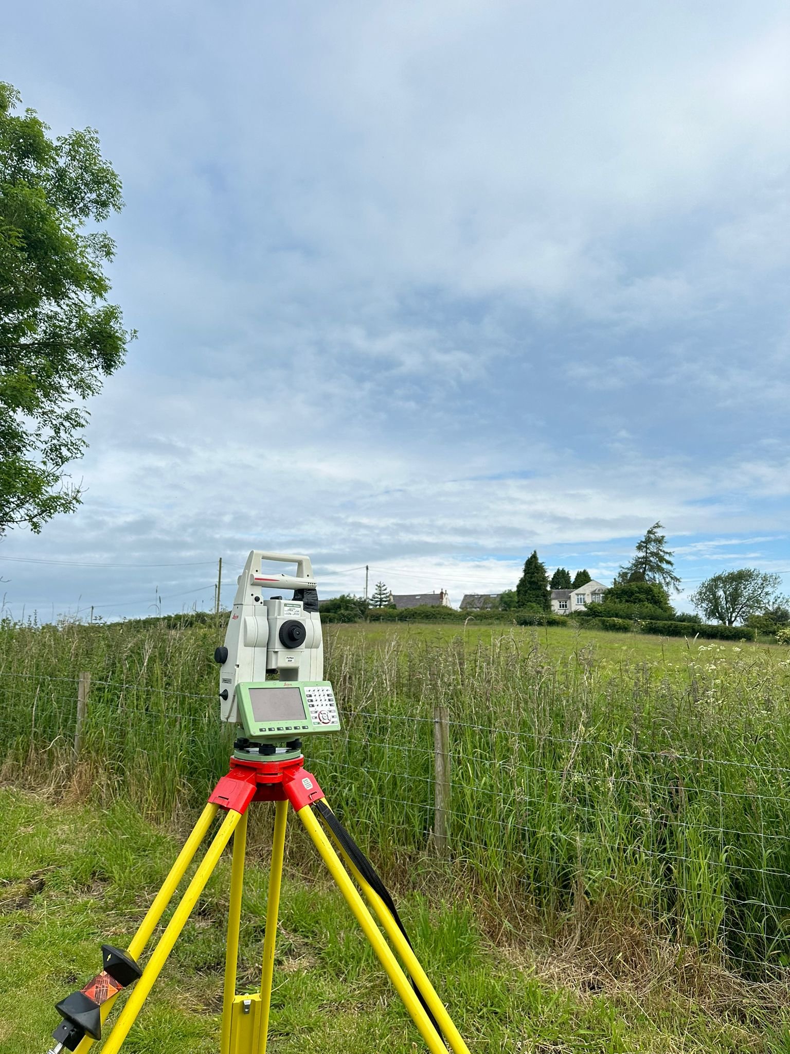
Conducting the Survey: Using advanced surveying equipment, including Total Stations and GNSS receivers, we established a tight grid of levels across the farm. This grid allowed us to capture precise topographical data, ensuring an accurate representation of the land.
Navigating Dense Vegetation: One of the significant challenges was the dense vegetation that covered parts of the farm. Instead of clearing the vegetation, which could disturb the environment, we carefully navigated through it to capture the necessary levels. This approach required meticulous effort and attention to detail, ensuring that we obtained accurate data even in the most overgrown areas.
Mapping Features: We mapped all significant features of the property, including buildings, fences, trees, and other landmarks. Each feature was accurately recorded to provide a comprehensive overview of the site, aiding future design and development efforts.
Delivering Results
After completing the survey, we compiled the data into a detailed topographic map. This map provided the client with an accurate representation of the farm's current state, highlighting elevation changes and the location of all key features. The final deliverables included:
A detailed topographic map with a tight grid of levels.
A comprehensive feature map showing all significant landmarks and structures on the property.
High-resolution digital files suitable for future design and planning activities.
Conclusion
The successful completion of the topographic survey of the farm in Barnoldswick highlights Brookes Geospatial’s commitment to supporting our local community with precision and care. Our approach ensured that the client received the detailed and accurate data needed for their future development plans.
If you have a project that requires meticulous surveying and mapping, contact us to learn how Brookes Geospatial can provide the expertise and solutions you need.